About this Project
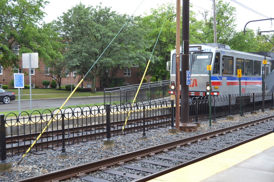
CLEVELAND -- The Greater Cleveland Regional Transit Authority (RTA) has been working with 10 communities in Southeast Cuyahoga County to analyze alternatives for an extension of the light rail Blue Line.
The Federal Transit Administration (FTA) requires an Alternatives Analysis for any major transportation improvement.
What is the Locally Preferred Alternative (LPA)?
In the study, the consultant recommended proceeding with a Baseline build option that could be upgraded in the future. The Baseline alternative includes:
- Realignment of the current intersection of Warrensville Center Road, Northfield Road (Ohio Rt. 8) Van Aken Boulevard and Chagrin Boulevard (U.S. Rt. 422) in Shaker Heights. The City of Shaker Heights now has this project fully funded.
- A .3-mile extension of the Blue Line across the realigned intersection.
- Construction of a new Shaker Intermodal Transit Center. It will facilitate transfers to the Blue Line, as its new terminus on the southeast section of the realigned intersection.
- Express bus service to University Circle.
- Park-N-Ride lots near the interchanges of Northfield Road and I-480 in Warrensville Heights, and Harvard Road and I-271, in Highland Hills.
Purpose and Need
The purpose of the Blue Line Corridor Extension is to:
- Develop transportation improvements that reach new transit markets south and east of the corridor.
- Improve transit connections between downtown Cleveland and the southeastern portion of the region.
- Improve access for existing users of the corridor to destinations within the study area.
- Promote redevelopment and/or development along the existing and extended Blue Line corridor.
Transportation needs identified by the study:
- Lack of direct freeway access for trips between the southeast portion of Greater Cleveland and employment centers in downtown Cleveland and University Circle.
- Congestion on more direct regional arterials that make trips by automobile slow, tedious and frustrating.
- Bus routes that serve the study area are slow and indirect for inbound travelers destined for Cleveland's largest employment centers -- downtown and University Circle.
- Lack of transit options that connect with the regional freeway network and offer Park-N-Ride opportunities for travelers.
- Lack of direct, frequent transit service for trips between the existing Blue Line corridor and retail and job destinations in the study area.
- Insufficient station/stop and travel time amenities for both existing users of the Blue Line and bus service within in the defined study area.
- Land-use patterns and densities that are generally unsupportive of transit.
From those needs, four goals were developed that correspond to the required evaluation metrics for an FTA Alternatives Analysis:
- Goal 1: Improve connections to downtown Cleveland from transportation markets south and east of the existing Warrensville-Van Aken station -- the end of the Blue Line.
- Goal 2: Develop transit improvement concepts that promote development opportunities. Identify stop/station locations in areas ripe for development or redevelopment.
- Goal 3: Develop transit improvements while minimizing impacts to the natural and man-made environment.
- Goal 4: Develop a transit improvement strategy that is both efficient and cost-effective.
What alternatives were studied?
FTA's New Starts guidelines require that an Alternatives Analysis include a:
- A No Build alternative includes the existing transportation system, plus all planned and funded projects. For the Blue Line Corridor Extension, this included the reconstruction of the Warrensville-Chagrin intersection, which is scheduled to be completed in 2014.
- A Baseline alternative is the best that can be done to improve mobility using buses, and often includes express and limited stop bus services, traffic signalization improvements and expanded park-and-ride facilities.
- A Build alternative includes construction of a fixed transit guideway, commonly light rail or bus rapid transit (BRT). For the Blue Line Corridor Extension, six Build alternatives were considered. The Build alternatives include all elements of the Baseline alternative, plus a light rail or BRT guideway on:
- Northfield Road to 1-480
- Northfield and Harvard Road to 1-271
- Warrensville Center and Miles Road to 1-480
Evaluation of the Alternatives
The Baseline and Build alternatives were evaluated, based on criteria derived from the goals of the study. The evaluation criteria included:
- Mobility improvements, as measured by the estimated number of new trips per hour of user benefit.
- Land use, including the potential for transit supportive development.
- Potential environmental impacts on cultural, historical and natural resources.
- Cost effectiveness, measured as the cost per hour of user benefit.
Capital and operating costs were developed for each of the alternatives, and a cost per hour of user benefit was determined. In order to receive a medium cost-effectiveness rating from the FTA, an alternative must have a cost-effectiveness index of less than $25. As shown in the table below, the Baseline alternative is the only alternative that would achieve a medium cost-effectiveness rating.
| Alternatives | Total Capital Cost | Annual Operating Cost | Cost per Hour of User Benefit |
| Baseline | $36.30 Million | $4.51 Million | $19.43 |
| Harvard Light Rail | $144.85 Million | $6.57 Million | $40.53 |
| Harvard BRT | $76.26 Million | $5.63 Million | $34.82 |
| Northfield Light Rail | $187.79 Million | $6.56 Million | $58.59 |
| Northfield BRT | $82.49 Million | $5.65 Million | $40.02 |
| Warrensville Light Rail | $198.39 Million | $6.84 Million | $76.94 |
| Warrensville BRT | $57.17 Million | $5.75 Million | $34.49 |
Therefore, RTA is proposing to select the Baseline as the Locally Preferred Alternative (LPA). None of the Build Alternatives would achieve a medium cost-effectiveness rating, and land use and economic development benefits are unlikely to compensate for the low cost-effectiveness ratings of the full length BRT or light-rail extensions.
The Baseline alternative would help to establish a transit market in Southeastern Cuyahoga County, with the possibility of upgrading to a full scale BRT, similar to the HealthLine, at a later date. The proposed operating plan for the Baseline alternative is shown below.
Progress and Milestones
-
Board approved resolution
RTA Trustees approved resolution #2009-45, hiring PB Americas Inc. to perform a Blue Line Alternatives Analysis / Environmental Study. That work, plus a related ridership study, totaled $1.3 million.
completed -
The Locally Preferred Alternative (LPA) presented
The Locally Preferred Alternative (LPA) was presented to the RTA Board's Planning and Development Committee for discussion.
completed -
January 31, 2012 & February 2, 2012The LPA was presented at public meetingscompleted
-
The LPA was presented to RTA's Citizens Advisory Board.completed
-
The LPA was presented to the Transportation Advisory Committee (TAC) of the Northeast Ohio Areawide Coordinating Agency (NOACA).completed
-
The LPA was presented to the NOACA Governing Board.completed
-
NOACA TAC endorsed the LPA.completed
-
RTA Trustees endorsed the LPA.completed
-
NOACA's Governing Board endorsed the LPA.completed
-
RTA submitted the LPA to the FTA for approval. It can now be considered for New Starts or Small Starts funding.completed
-
RTA issued a Notice to Proceed to the consultant team to complete the NEPA document. RTA was selected to be a pilot program for FTA's Environmental Streamlining process.completed